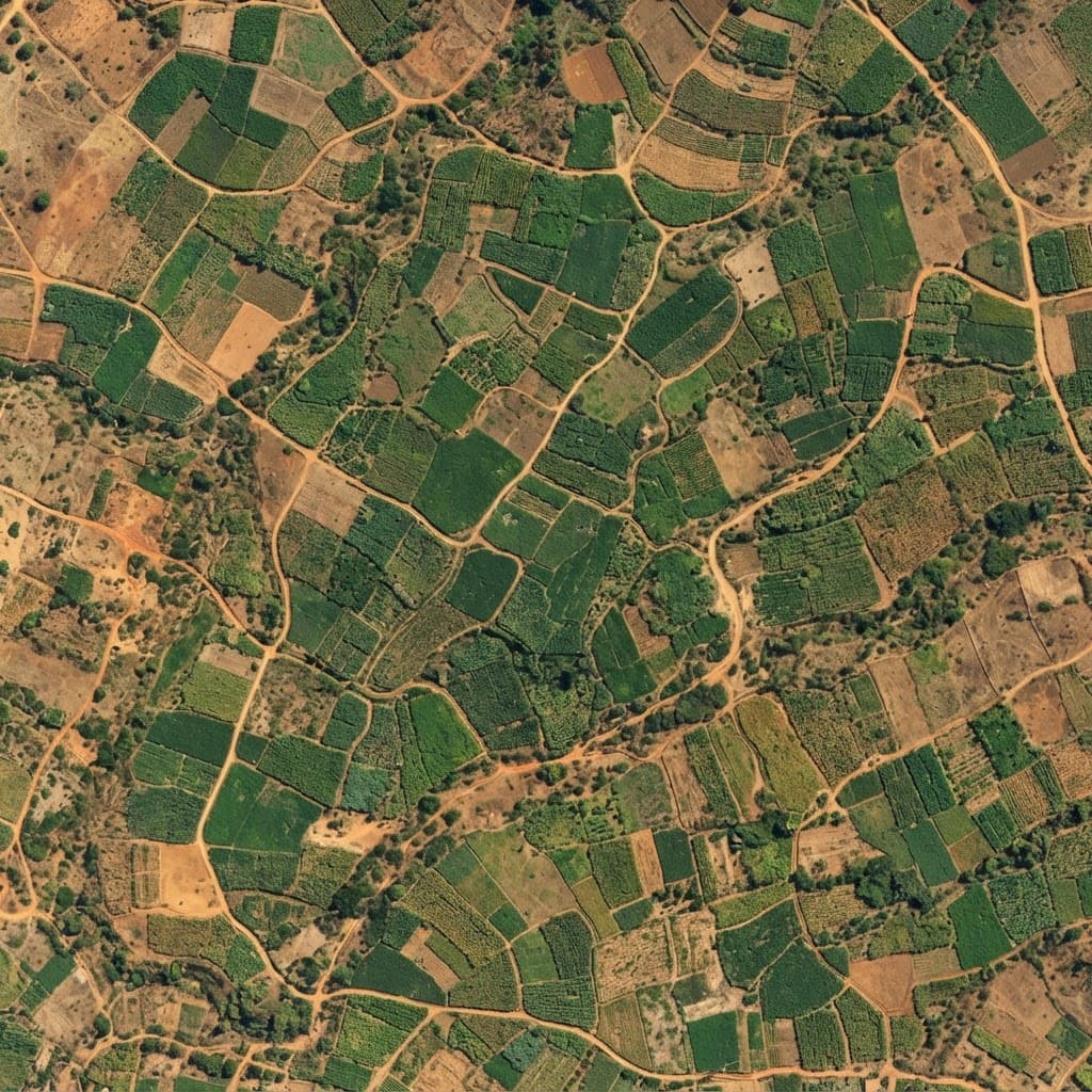

Every boundary, mapped from the field.
Survey records for farmland in the CastorConnect network: the boundary walked with GPS, its area and corners, ground heights, land cover and what surrounds it, with the original files to download.
Browse farmlands
- Farmland
- 1
- Surveyed and published
- Hectares
- 38.1
- Inside the mapped boundaries
- GPS points
- 8
- Logged in the field
- State
- 1
- Nasarawa State
Mapped farmlands
Select a farmland on the map or below to open its full survey record.
How each farmland is recorded
Walked in the field
A field officer logs GPS fixes at the corners and draws the boundary in the mapping app, recording time, height and accuracy for every point.
Recomputed and checked
Area, perimeter, bearings and UTM coordinates are recomputed from the corners on the WGS 84 ellipsoid and checked against the figures stored in the file.
Set in context
Public satellite data adds land cover, wet- and dry-season greenness, terrain, streams, roads and buildings around the parcel.
Open about its limits
Each record says which corners were occupied and which were drawn, how accurate the fixes were, and what to confirm on site.